
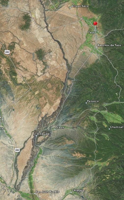
There is no indication as you’re driving northeast along Highway 68 to Taos that the Rio Grande River will reveal itself in the middle of one of Earth’s biggest geologic rifts. About halfway out of Espanola, the river at this time of year was lazy. Several rafters were making their way down river near Rio Grande Gorge State Park.
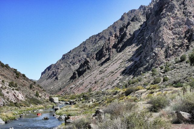
The Rio Grande River flows from Colorado to Texas for almost 2,000 miles. It defines the border between Texas and Mexico all along the southwestern edge of Texas until it empties into the Gulf of Mexico. Through all of New Mexico, running north-south, the river flows through the middle of a gigantic rift in the earth’s crust, the second largest outside of Africa’s Great Rift, the result of a splitting apart that began 30 million years ago. The rift extends from central Colorado to northern Mexico, part of unstable geological activity that produced the volcanoes and lava flows that are still evident today. Cities to the south, such as Santa Fe and Albuquerque, sit on top of basins that were formed after the split. A spectacular view of this geological phenomenon can be appreciated from Rio Grande Gorge Bridge outside of Taos.

Leave a comment